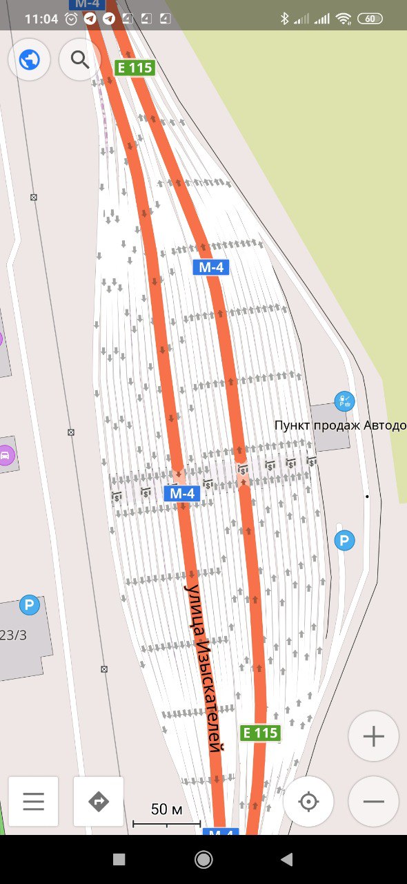
цитата для заучивания: area:highway=* had been proposed to describe the non-routable, detailed shape of a (typically linear) highway. The tag requires the linear, routable direction of the highway mapped in addition as lines with highway=*.
area=yes on a highway=* describes a routable highway area on which the dedicated traffic can route omnidirectionally, i.e. from any point along the edge to any other.
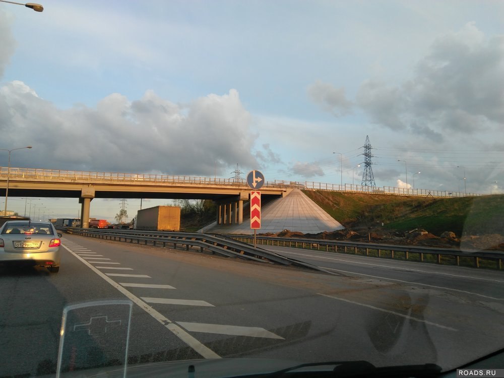
Весело, не знал, но безперспективно...
Сейчас другое применение, и современный вариант "линии + штаны" мне кажется наиболее более эффективным