


l
Size: a a a
2020 February 04
l
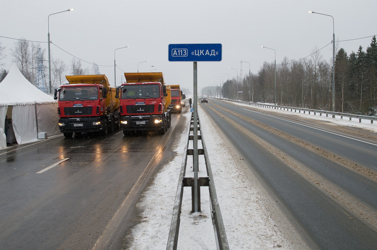
А113
не знаю, я видео с участка так и не дождался, оставил ref старый
i
ЦКАД в ref добавлять?
AI
оно там в кавычках, как будто название
l
ЦКАД в ref добавлять?
думаю, неет
i
Я шутю всегда без смайлов.
V
Я шутю всегда без смайлов.
По краю ходишь :)
AE
Название: Python Geospatial Development - Third Edition
Авторы: Erik Westra
Форматы: EPUB
Ids: isbn:9781785288937
Теги: geospatial_systems, gis, Python, Software_Development_Engineering
Издатель: Packt Publishing - ebooks Account
Дата: 24 июл 2017
Опубликована: май 2016
Python Geospatial Development - Third Edition
#gis #python
What you will learn
- Access, manipulate, and display geospatial data from within your Python programs
- Master the core geospatial concepts of location, distance, units, projections, and datums
- Read and write geospatial data in both vector and raster format
- Perform complex, real-world geospatial calculations using Python
- Store and access geospatial information in a database
- Use points, lines, and polygons within your Python programs
- Convert geospatial data into attractive maps using Python-based tools
- Build complete web-based mapping applications using Python
Table of Contents
- Geospatial Development Using Python
- GIS
- Python Libraries for Geospatial Development
- Sources of Geospatial Data
- Working with Geospatial Data in Python
- Spatial Databases
- Using Python and Mapnik to Generate Maps
- Working with Spatial Data
- Improving the DISTAL Application
- Tools for Web-based Geospatial Development
- Putting It All Together – a Complete Mapping System
- ShapeEditor – Importing and Exporting Shapefiles
- ShapeEditor – Selecting and Editing Features
i
Это же не манга?
AE
Привет, есть у кого такая книжка? Mastering Geospatial Analysis with Python
Такой пока нет. Есть ближайшая по смыслу - Python Geospatial Development - Third Edition by Erik Westra
f
Также, ландюзом. Получится ландюз поверх ландюза, но и главная и мопс это нормально обрабатывают
нет, такое не практикуется. нарезать всё мелкими зонами
f
> Сразу думаю, что можно сделать подгрузку по API на ваш проект небольшие наши картинки 112px × 84px (превьюшки) зданий по адресам, но для полного просмотра после нажатия на превью надо будет переходить на наш сайт. Это будет бесплатно.
Вполне себе дополнительное решение
Вполне себе дополнительное решение
они явно не вкурили про какой такой осм шла речь
AE
Это же не манга?
Нет. И не авакада
AE
Это же не манга?

f
Так надо дальше продолжать разговор:
— За два месяца вы внесли 7248 адресов. Если на обход домика тратить хотя бы по минуте, то получается вы тратили по 2 часа каждый день без выходных. Вы просто себя не бережете.
— За два месяца вы внесли 7248 адресов. Если на обход домика тратить хотя бы по минуте, то получается вы тратили по 2 часа каждый день без выходных. Вы просто себя не бережете.
и ещё столько же на внесение
l
Я шутю всегда без смайлов.
тогда хоть лопатку демонстрируй
i
Пойду-ка осторожно выходить из вагона.