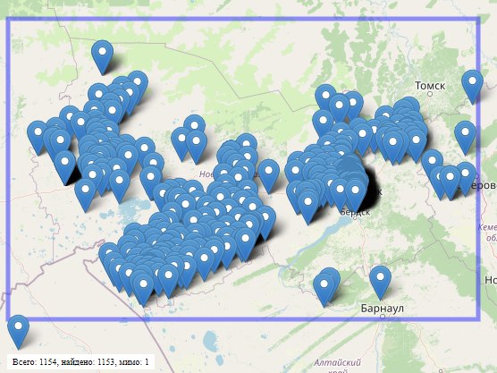
Вот и я всегда считал что для пруда, а в пропозале со ссылкой на дискуссию в osm-tagging сказано
Ponds are tagged natural=water + water=pond. Ponds, in the context of OpenStreetMap, are:
Not a reservoir (see definition above)
Not a basin (see landuse=basin, water=basin, and basin=*)
Lacking wave action at the shoreline
Are usually no more than 8-20 hectares in size
Often named with "pond" (or local language equivalent) in the name
Shallow enough for sunlight to reach the bottom or to allow rooted plants to grow throughout it (see Photic zone on Wikipedia)
Т.е. воббще любое мелкое озеро, независимо от того искуственное оно или естественное, есть там речка или нет. Сама дискуссия:
https://lists.openstreetmap.org/pipermail/tagging/2020-November/056183.html